 Enhancing and inverting (below) gives a more dramatic 'bottom-lit' view of the hanging protrusions. 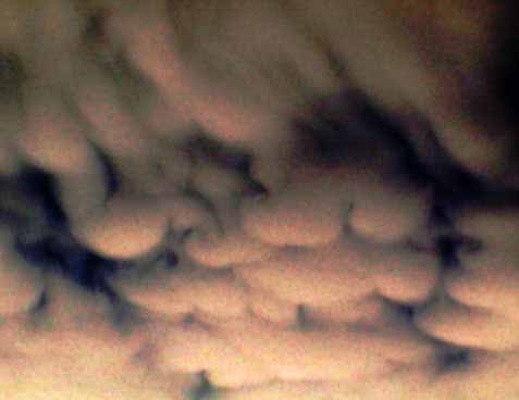 |
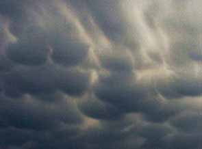
Mammatus clouds, with downward protruding bulges, are formed at the base of cumulonimbus clouds by advection, usually during or after storms. Typical mammatus clouds [at right] are relatively rare in Bangkok. This example was photographed at 3.00 pm at ISB. The clouds are top lit. The formation persisted for 20 minutes, before the onset of a tropical thunder storm.
|
Enhancing and inverting (below) gives a more dramatic 'bottom-lit' view of the hanging protrusions. |
A similar formation was photographed in Greymouth, New Zealand, on the 13.6.05. Inverting the photograph and rotating 180° shows at once that downward convection is involved since the formation then looks like normal clouds seen from a above. The science fiction book Cloud Atlas has six pictures of clouds on the cover. The example of top-lit mammatus is on the cover of my copy appears to be upside down!
Advection can be seen in this clip.
More examples:
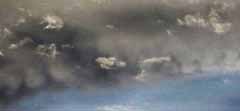
1 Small unstable formations are sometimes seen at sunset in Bangkok.
2 Another collection of unstable mammatus clouds, bottom-lit at sunset, photographed in Hua Hin by Geoff Harper.
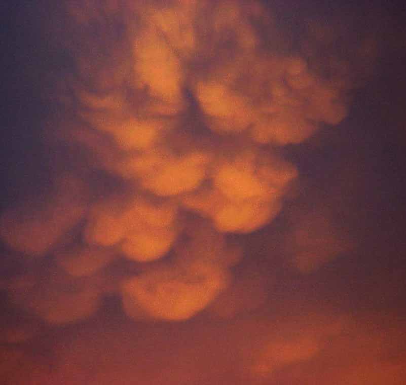 The clouds developed in a relatively clear evening sky shortly after a thunder storm. The formation was localized and persisted for less than five minutes. |
3 A similar small bottom-lit formaton in Songkla.
4 The unusual image below, shows mammatus outlined by lightening in Kathmandu, Nepal, after dark, on the evening of the 17th of April, 2004.
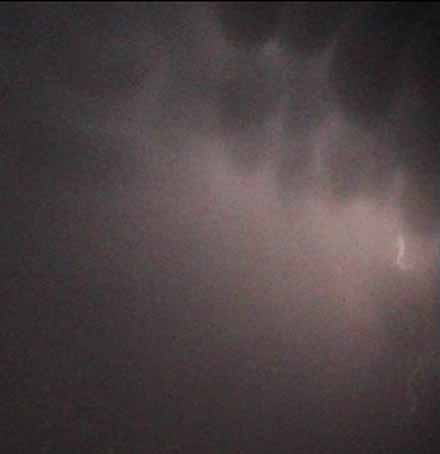 Photo: Jacobs The spectacular one hour lightening display above the city was followed by a brief shower of ice-cube sized hail stones. |
Note: the conditions that lead to mammatus formations are similar to the conditions that give advection fog in harbors. Warm moist air moves over a cooler layer, leading to downwards convection. Mammatus could be called advection cloud.